| Topic | What is supported | Planning use |
|---|---|---|
| Meaning | Acqua alta translates literally to “high water” | Treat it as a water-level condition to check, not as a fixed event on the calendar. |
| Causes | High tides combined with strong winds and low pressure | Weather matters as much as the tide table, so check wind and pressure conditions alongside the tide. |
| Forecast range | Detailed tide forecasts for the next two days | Plan routes and footwear inside that window and do not rely on anything further out. |
| Monitored points | P.le Roma, Ferrovia, Rialto, San Marco and ACTV ferry stops | Check the point nearest your route, such as the station, Rialto or the square, before you set out. |
| Data provider | Data officially provided by ICPSM | Prefer the official tide figures over social media rumours or word of mouth. |
These figures come from a guide to acqua alta in Venice and the Hi Tide Venice app listing.
Acqua alta Venice means high water that floods parts of the city when high tides combine with strong winds and low pressure. Check the tide forecast, which covers the next two days, before choosing routes and footwear.
High water is a routine part of life in the city, so it rewards a little preparation rather than alarm. For the wider picture of buses, boats and walking routes, see how to get around venice.
What high water changes for a visit
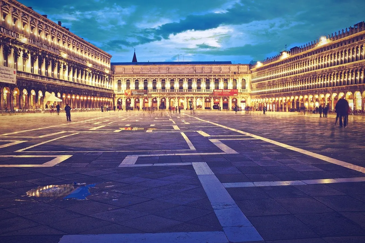
Acqua alta affects ground-level movement more than anything else. Streets and squares that are dry in the morning can be awash later, and the places that matter most to a visitor are the ones the tide monitoring already singles out: P.le Roma, Ferrovia, Rialto, San Marco and the ACTV ferry stops. Piazza San Marco is on that list, so the famous square is one of the points where the water level is tracked for the public.

The practical effect is that timing and route choice become the main decisions. A flooded stretch rarely cancels a day, but it can slow a walk, complicate a transfer with luggage and make some ground-floor spaces awkward to reach.
- Arrivals and departures: P.le Roma and Ferrovia are both monitored points, so check the level there before wheeling luggage towards a hotel or boat stop. Arriving or leaving at a different time can make the transfer easier.
- Crossing the centre: Rialto and San Marco are monitored too. If either reads high for your planned hour, swap a long outdoor walk for an indoor visit and walk later.
- Boat travel: ACTV ferry stops are among the monitored locations, so the level at the stop you intend to use is worth a glance before you commit to a route.
- A different pace: on a day when the historic centre is awkward to cross, a trip to the lagoon beach island can suit better; see lido di venezia things to do for ideas.
Footwear, luggage and what to pack
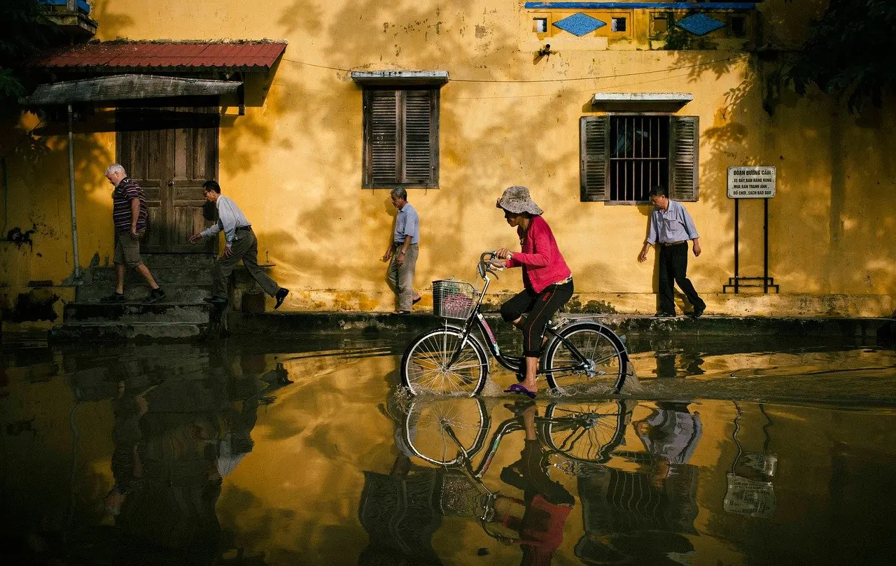
Waterproof footwear is the most useful single item on a day of high water. Rubber boots are the usual answer to flooded streets, and they let you keep walking instead of waiting for the level to drop. Shoes that let water in, such as canvas trainers or open sandals, are a poor choice if a flooded forecast is likely on your route.
Beyond boots, a few habits help. Keep documents, phones and chargers in a waterproof pouch or bag. Pack light enough that you can carry your own luggage when a route is partly under water. A broader checklist is in what to pack for venice, which suits the same planning.
Raised walkways
Raised walkways, known locally as passerelle, are elevated platforms that let pedestrians cross flooded streets without wading. They exist for high water, so they are a response to the conditions rather than a permanent feature of every street.
The monitored points are a useful guide to where the water matters most: the station area, Rialto and San Marco. Because the layout can change with each event, do not plan around a remembered route. Check the tide level for your area first, and then look for the walkways on the ground or confirm the arrangements through the Comune di Venezia. Expect walkways to be busy when the water is high, since many people are using the same route.
Reading the tide forecast
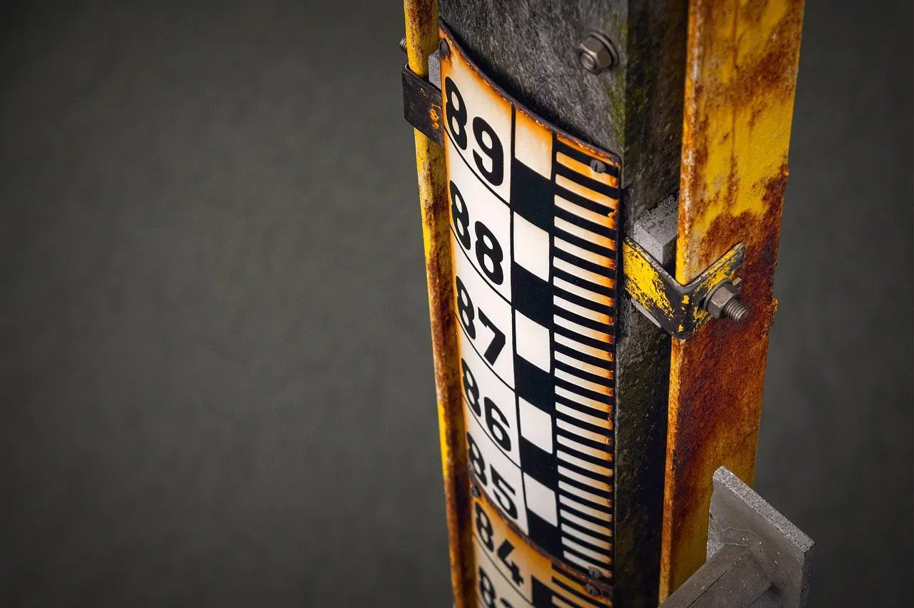
The Centro Previsioni e Segnalazioni Maree, part of the Comune di Venezia, is the official body for tide forecasting and signalling in the city. The Hi Tide Venice app lists its data as officially provided by ICPSM and gives detailed tide forecasts for the next two days. That makes it a practical way to read the official data on a phone.
Two days is a short horizon, and the reason is built into the cause. Because acqua alta depends on high tides plus strong winds and low pressure, the weather part of the picture can shift. A forecast read closer to the time reflects it better than one read well ahead. The app also shows the level at the monitored points, so you can check the place you will actually be standing.
- Open the forecast the day before you travel and note whether high water is expected.
- Recheck on the morning itself, because wind and pressure can change the picture.
- Look at the monitored point closest to your route: P.le Roma, Ferrovia, Rialto, San Marco or the ferry stop.
- Decide whether to move outdoor plans, pack waterproof footwear or leave luggage handling for another hour.
Flood sirens and signals
The name of the Centro Previsioni e Segnalazioni Maree covers both forecasts and signals, so the warning side of the system sits with the same official body as the forecast. If you hear a warning sound in the city, treat it as a prompt to open the forecast and look at the level for your area rather than guessing what it means.
The sensible habit is to rely on the written forecast for planning and on any warning as a reminder to check again. Anyone staying in the city for several days gains from learning the local signals from their accommodation host or the Comune di Venezia, since the forecast tells you what is coming and the signal tells you it is time to look.
The MOSE barrier and visitor planning
MOSE is the city’s engineered flood defence at the lagoon, and its operator, the Provveditorato Interregionale per le Opere Pubbliche, publishes its own information about it. For a visitor, the barrier does not replace the forecast habit. The tide level at the monitored points remains the thing to check on the day, and the same forecast sources apply whenever you travel.
Why acqua alta happens
Acqua alta translates literally to “high water”, and it describes flooding in Venice caused by a combination of high tides, strong winds and low pressure, as Italy with Bella explains. No single factor does it alone. A high tide is one ingredient, and wind and low pressure add to it.
That explains why there is no tidy calendar for it. Because the cause is a combination of conditions rather than a date, a visitor in any month does better to check the forecast than to rely on a typical season. It also explains why the forecast reaches only a short way ahead: the weather elements are the hardest part to pin down early.
Frequently asked questions
Is there a fixed acqua alta season?
The cause is a combination of high tides, strong winds and low pressure, so the forecast is a better guide than the month of travel.
How far ahead can the tide be checked?
Hi Tide Venice offers in-depth tide predictions covering a two-day window, drawing on information published by the ICPSM.
Which places can be monitored for tide level?
The app covers P.le Roma, Ferrovia, Rialto, San Marco and ACTV ferry stops.
Should a forecast of high water cancel a trip?
Not by itself. Waterproof footwear, a flexible schedule and a check of the monitored point on your route are usually enough to keep a visit workable.